…and 6 kg on my back
No matter whether you want to call it Ascension Day, Men’s Day or Father’s Day, for me it was definitely a hiking day. Since many people were expected in Saxon Switzerland, we decided to drive towards Bielatal. As it turned out, it doesn’t really matter that day, people are everywhere.
Why voluntarily carry 6 kg for a day hike? Quite simply: Because in summer I will go hiking for several days. Several days also means more luggage, which my back should now slowly get used to carry again. As I found out, I’m not entirely out of practice, at least in that regard.
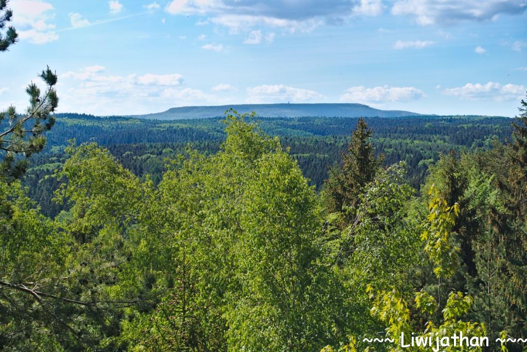
So, as always, we started early from Bielatal, up the first mountains to the lookout points. It went over the Lampertsstein to the Děčínský Sněžník view, which is not without reason its name. The view offers an undisturbed view of the Děčínský Sněžník in the Czech Republic.

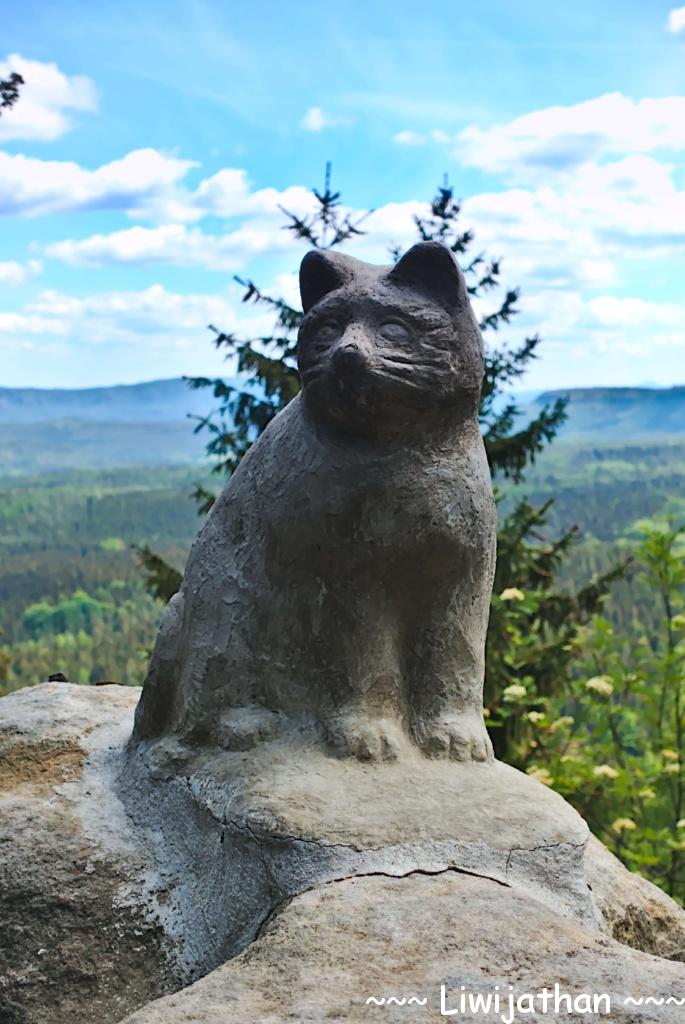
Through the beautiful forest with a steadily rising temperature, we continued to the main goal of this hike: the Katzsteinfels, which is not just called for nothing cat stone rock. The 30 m high ascent of a narrow ladder to a small lookout platform offers a wonderful view.

Katzsteinfels 
Ladder to the lookout platform 
View
In order to cope with the second half with full strength, we first went towards Cunnersdorf to the Katzsteinbaude for some refreshments. As tasty as the food was, the fatigue of the food set in afterwards. It feels about as impossible to have to go up the mountain again with this tiredness as to start the hike uphill. But you are not born a fighter for nothing.
As the last goal we targeted the Spitzstein, which offers an incredible view. You can see Pfaffenstein, Königstein, Lilienstein, Gohrisch and Papststein, all of which I have climbed except for Königstein. Yes, after almost 8 years in Saxony, I have never made it to Königstein, but is still on the list.

At home, I found that by waiting for our food for a long time, I completely burned one shoulder in the sun. Progress compared to last year: only half. Summer is coming.
Max elevation: 470 m
Total time: 06:51:08
