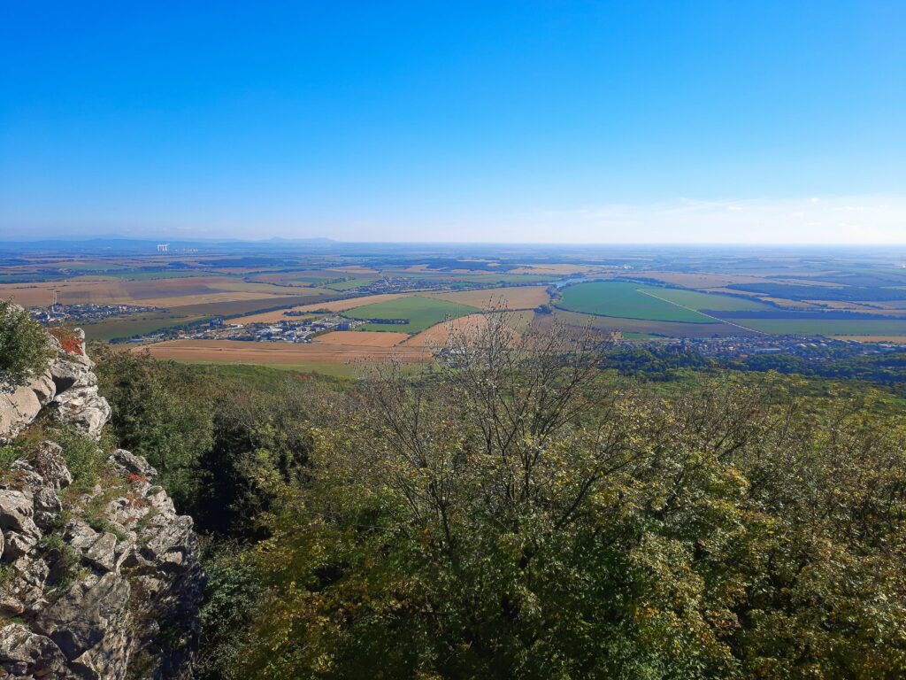
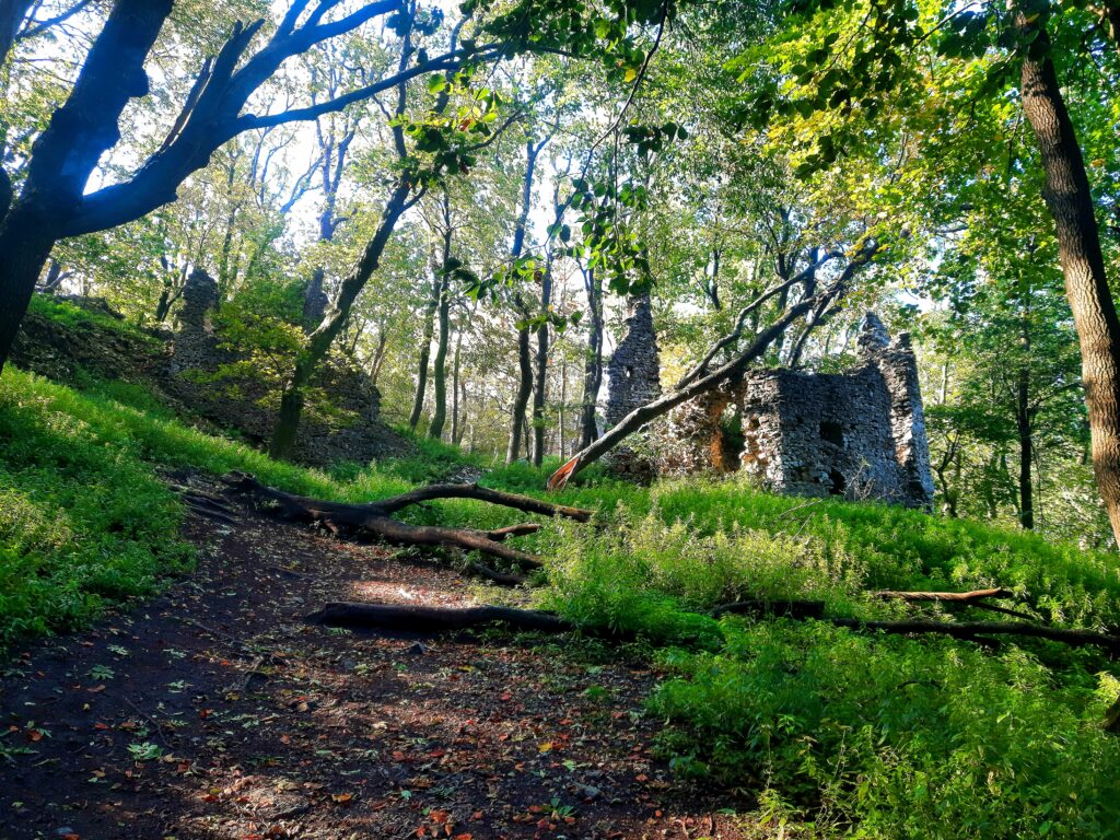
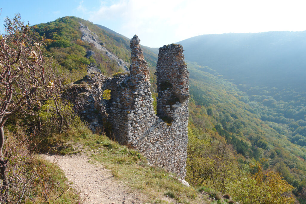
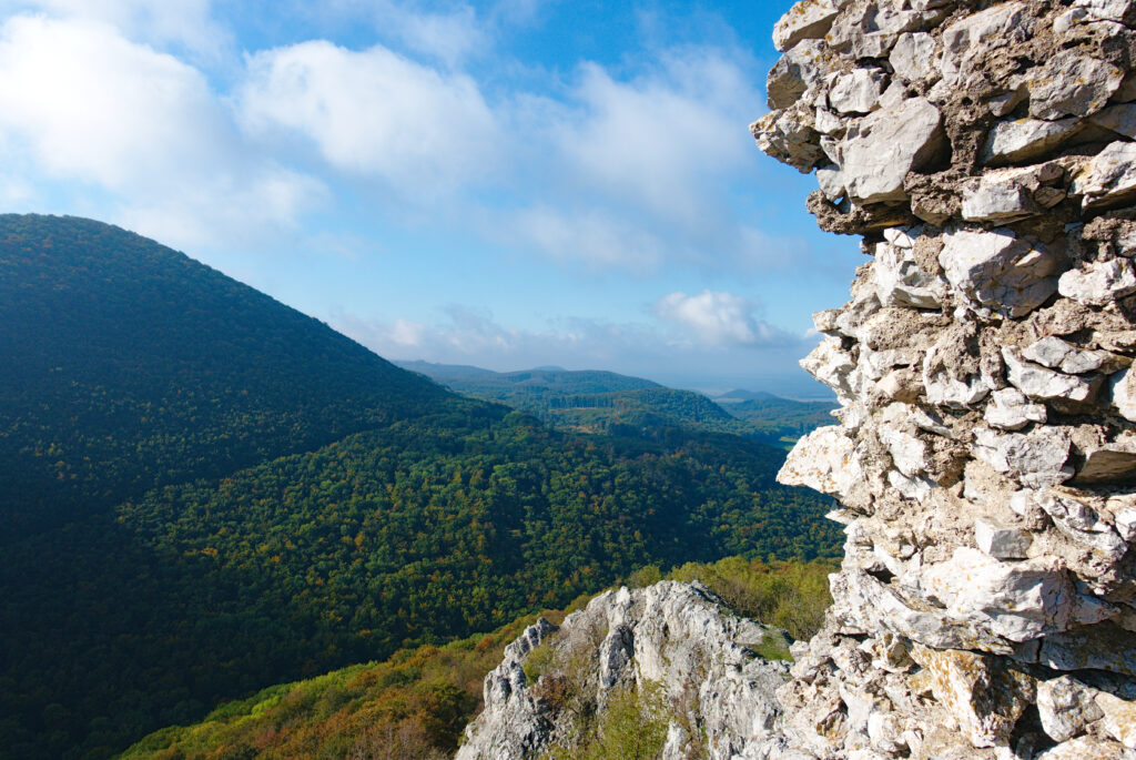
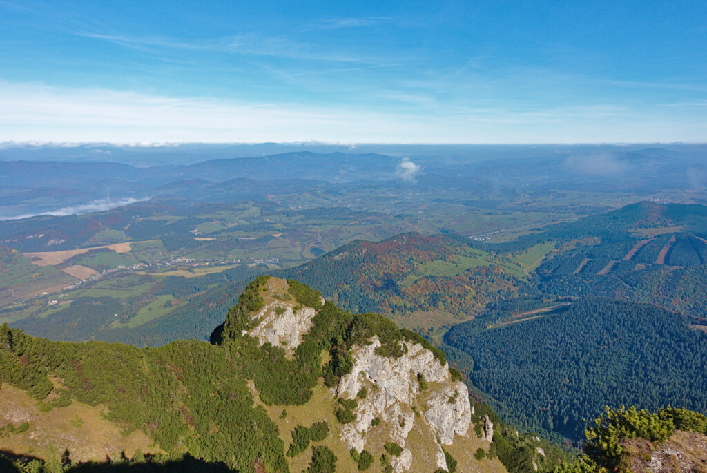
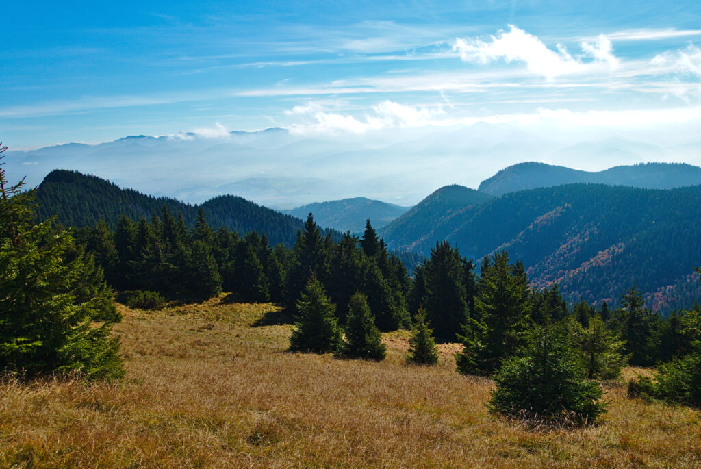
16. Oktober 2021 – Záruby


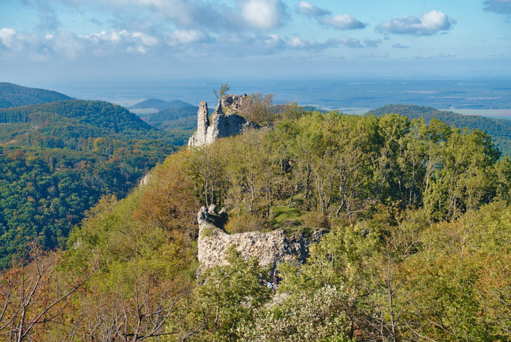


Gesamtstrecke: 22063 m
Maximale Höhe: 771 m
Gesamtzeit: 06:30:33
Maximale Höhe: 771 m
Gesamtzeit: 06:30:33
17. Oktober 2021 – Veľký Choč


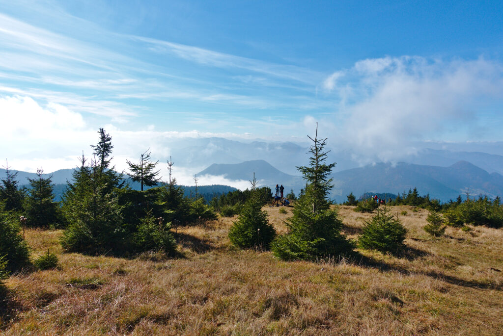


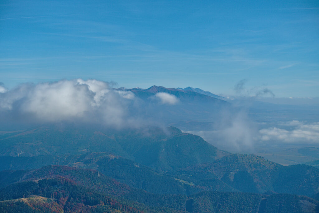


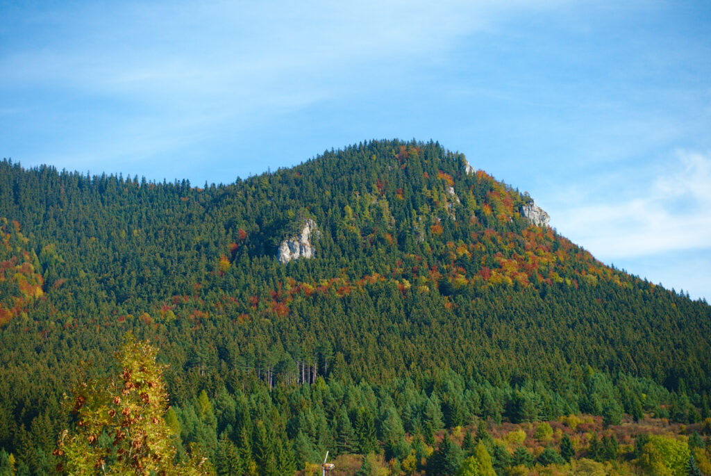
Gesamtstrecke: 12120 m
Maximale Höhe: 1611 m
Gesamtzeit: 05:28:55
Maximale Höhe: 1611 m
Gesamtzeit: 05:28:55
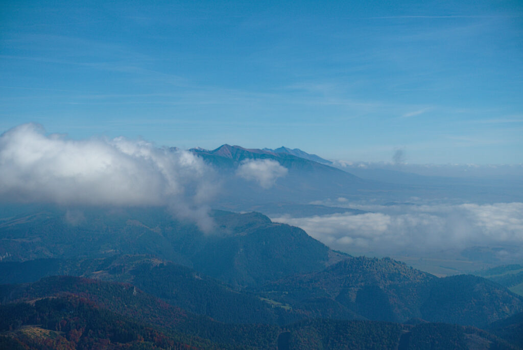
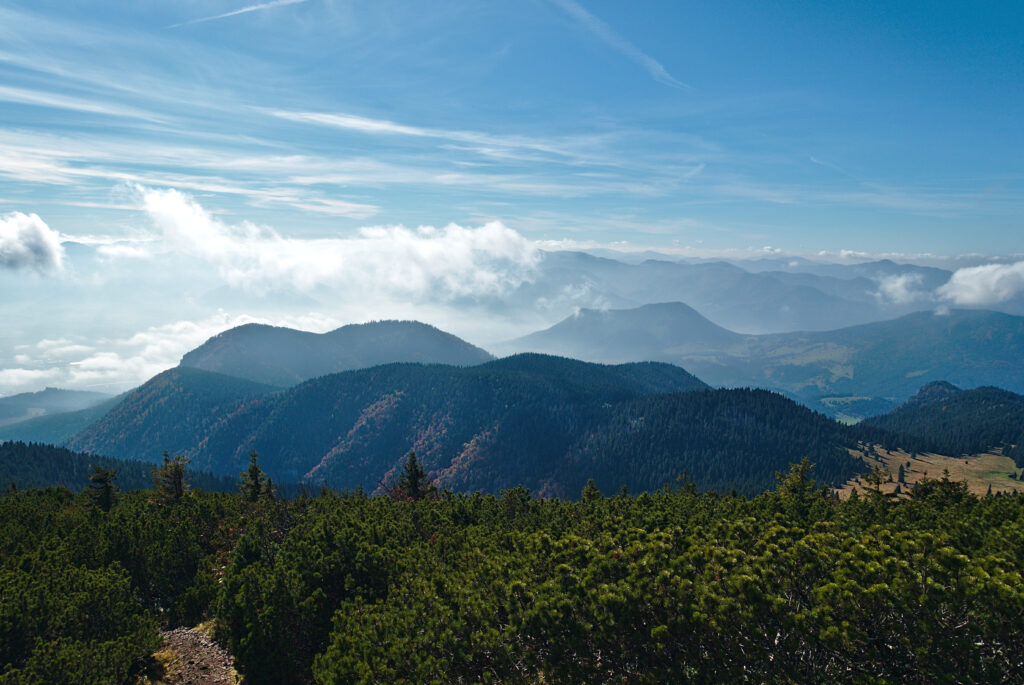
18. Oktober 2021 – Slovenský Raj
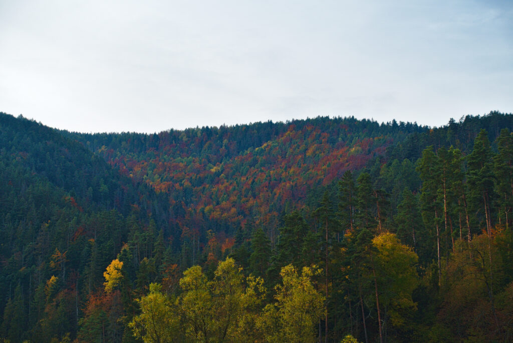
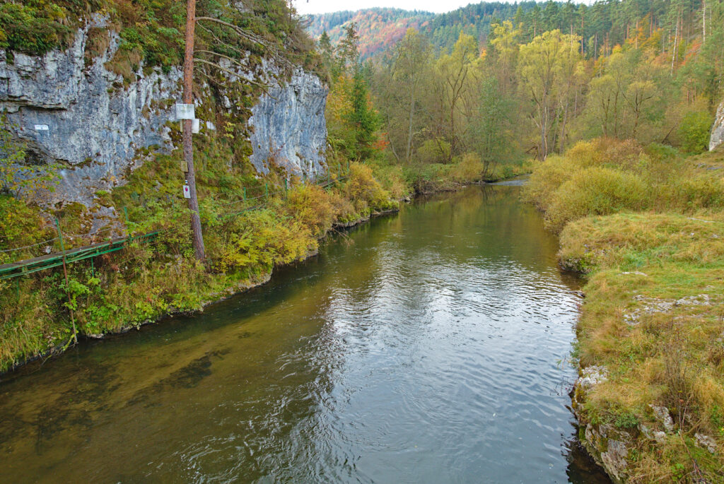
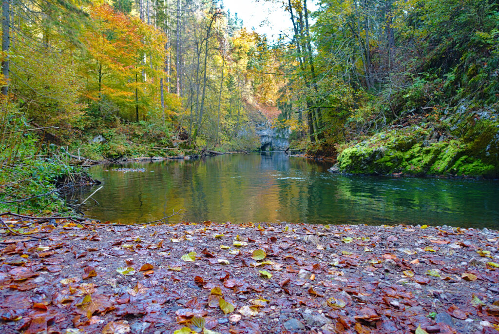


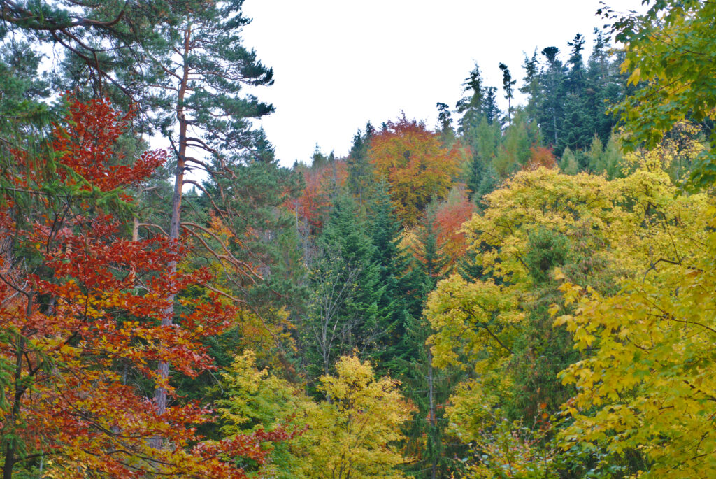


Gesamtstrecke: 18583 m
Maximale Höhe: 956 m
Gesamtzeit: 06:33:57
Maximale Höhe: 956 m
Gesamtzeit: 06:33:57
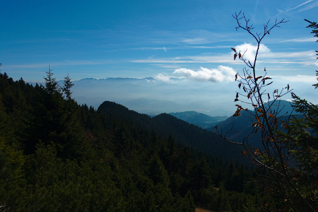
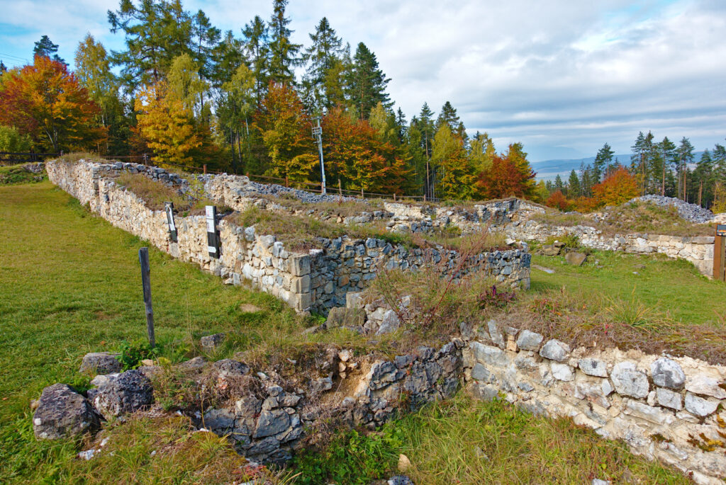
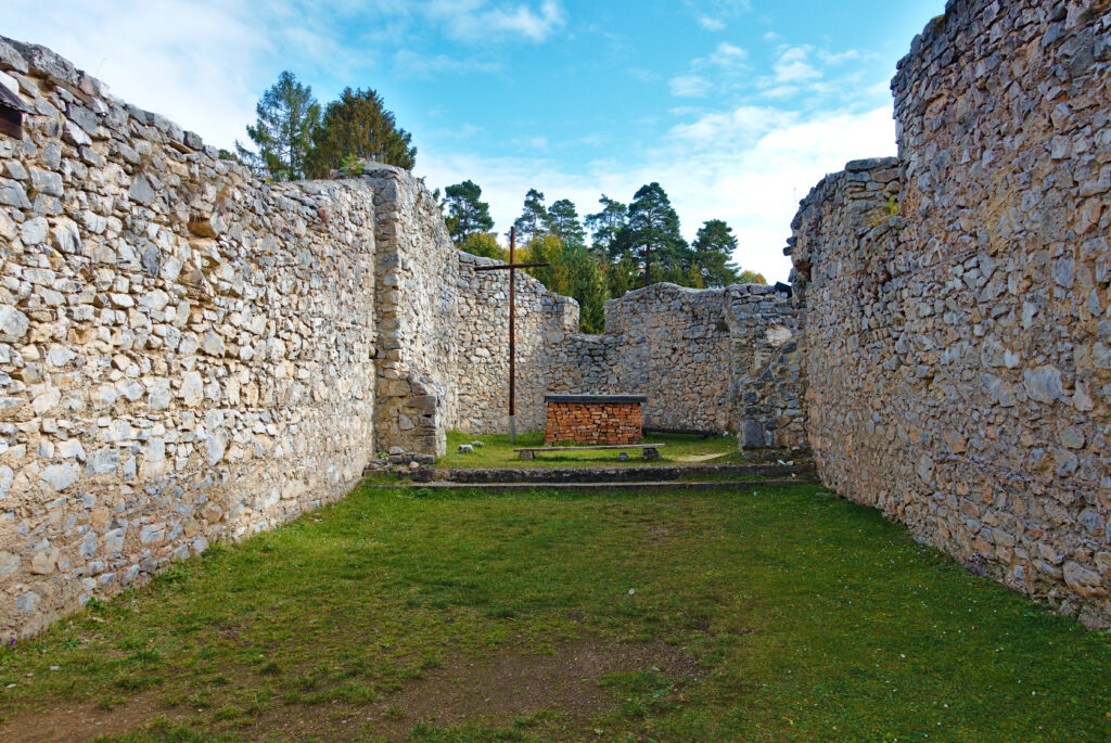
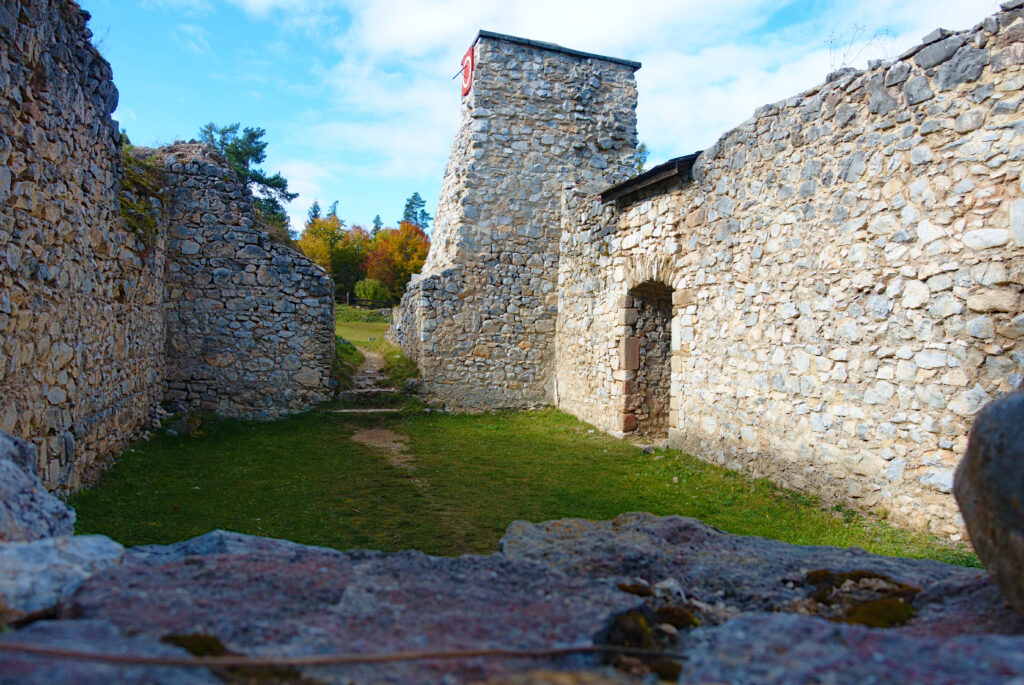
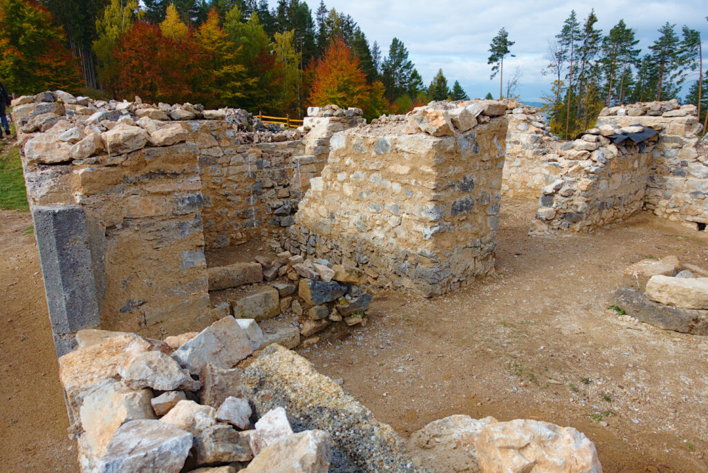
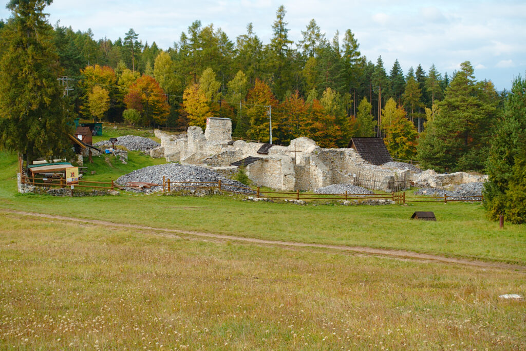
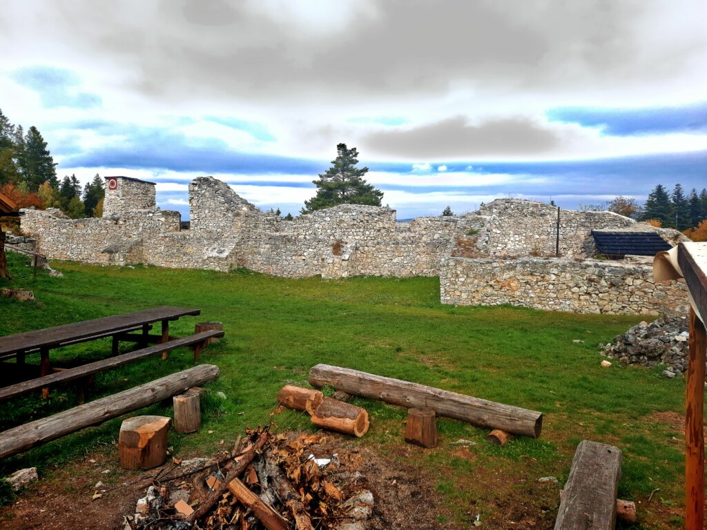
19. Oktober 2021 – Spišský Hrad
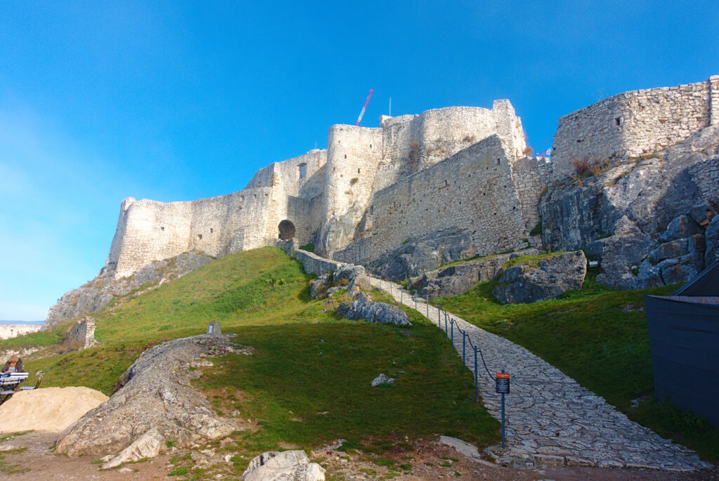
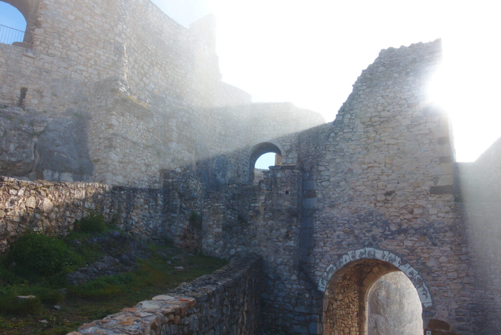
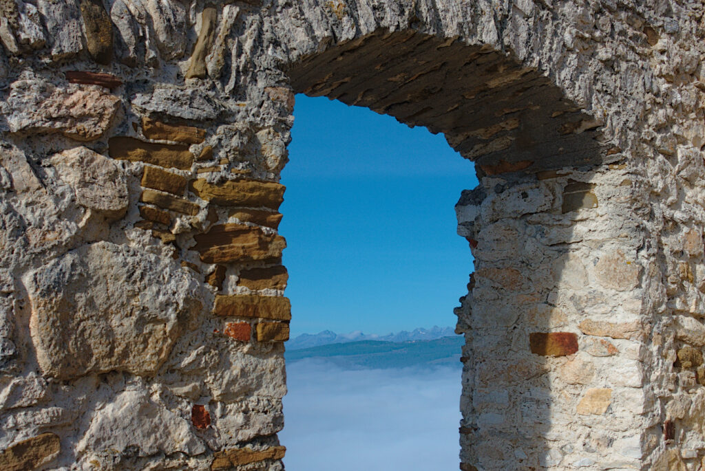
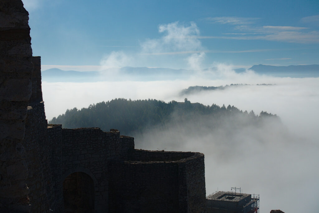

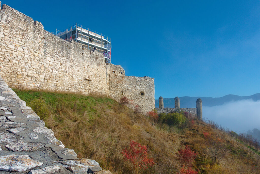
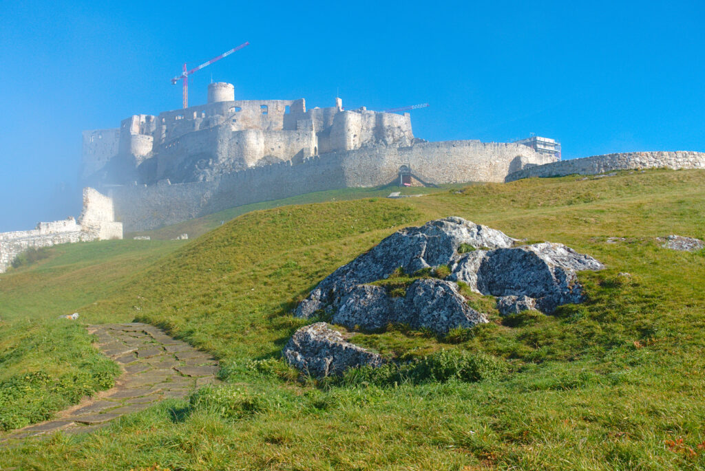

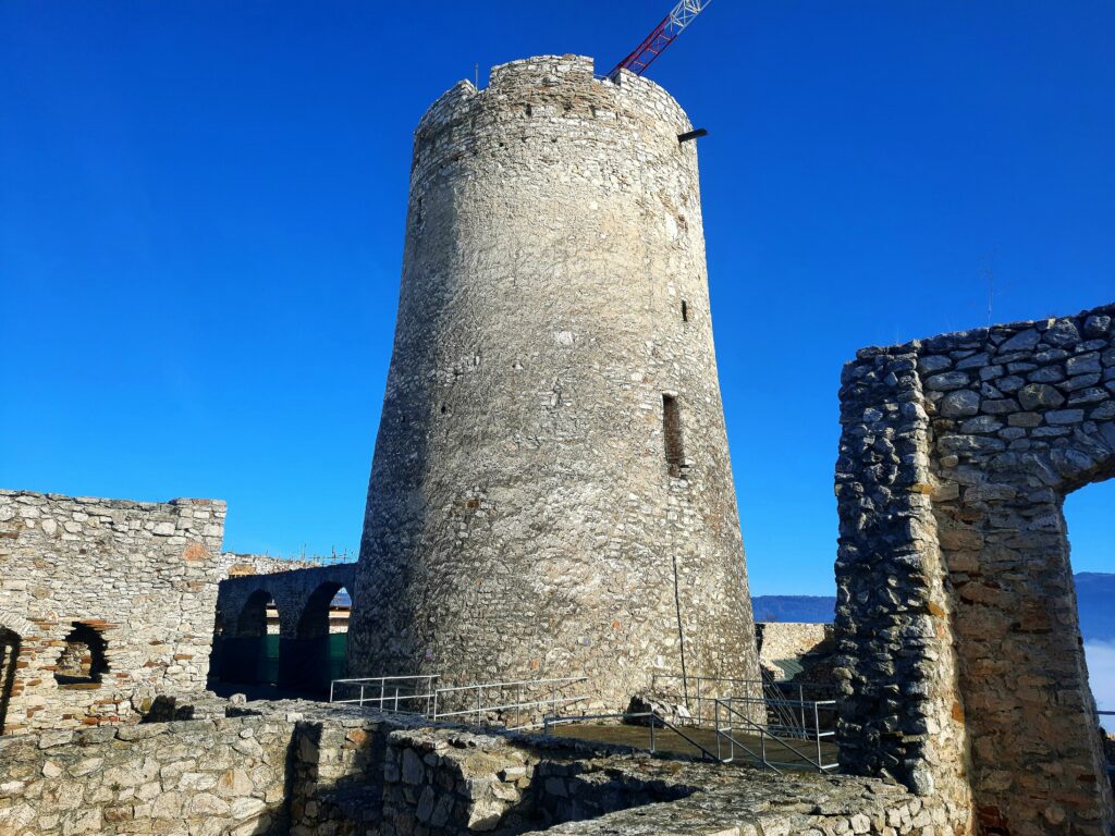

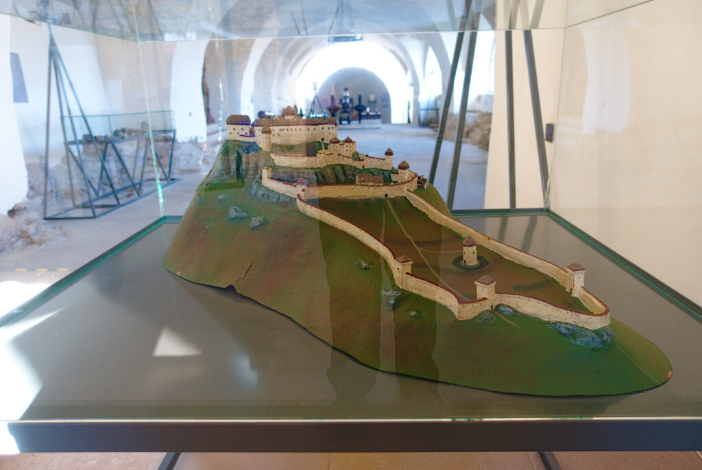
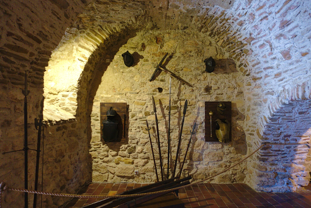


Gesamtstrecke: 4123 m
Maximale Höhe: 686 m
Gesamtzeit: 01:46:55
Maximale Höhe: 686 m
Gesamtzeit: 01:46:55
